
0+00Platform · Speed
Thirteen billion points, drawing in 0.6 seconds.
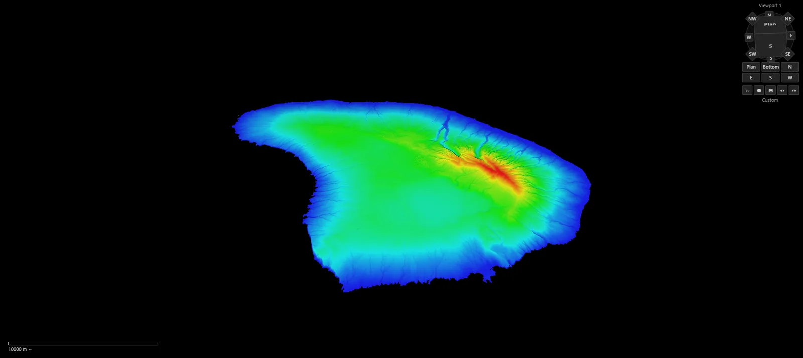
Every figure here was measured in Surveyor on public USGS 3DEP lidar of Lāna'i: 13,060,946,265 points in a single file, on named hardware, with the method written down so anyone can repeat it.
- First frame
- 0.6s2.3 s on the first launch of the day
- Whole island, full detail
- 6–8s14.3 s on the first launch
- Flying
- 100–118fpsMedian frame rate over five 45-second flights
- Points a frame
- 13.1MMedian; up to 45.4 M as detail streams in
1+00Open
The index first, the points as you look.
Opening reads the file's header and its index of 37,939 nodes, not its points. Surveyor's own log shows the metadata in 8 ms, the renderer ready at 108 ms and the dataset in place at 225 ms; the first frame follows, and the rest of the island streams in at full detail within seconds.
| Open | Opened | First frame | Full detail |
|---|---|---|---|
| First launch of the day With normals, 162.6 GB | 1.8 s | 2.3 s | 14.3 s |
| Second launch With normals, 162.6 GB | 0.35 s | 0.65 s | 5.9 s |
| First open of that file Without normals, 108.9 GB | 0.31 s | 0.58 s | 8.1 s |
From the open command to the dataset's loaded event, to the first frame that drew points, and to the moment the whole-island view stopped loading. The first launch of the day also built the app's caches.
2+00Fly
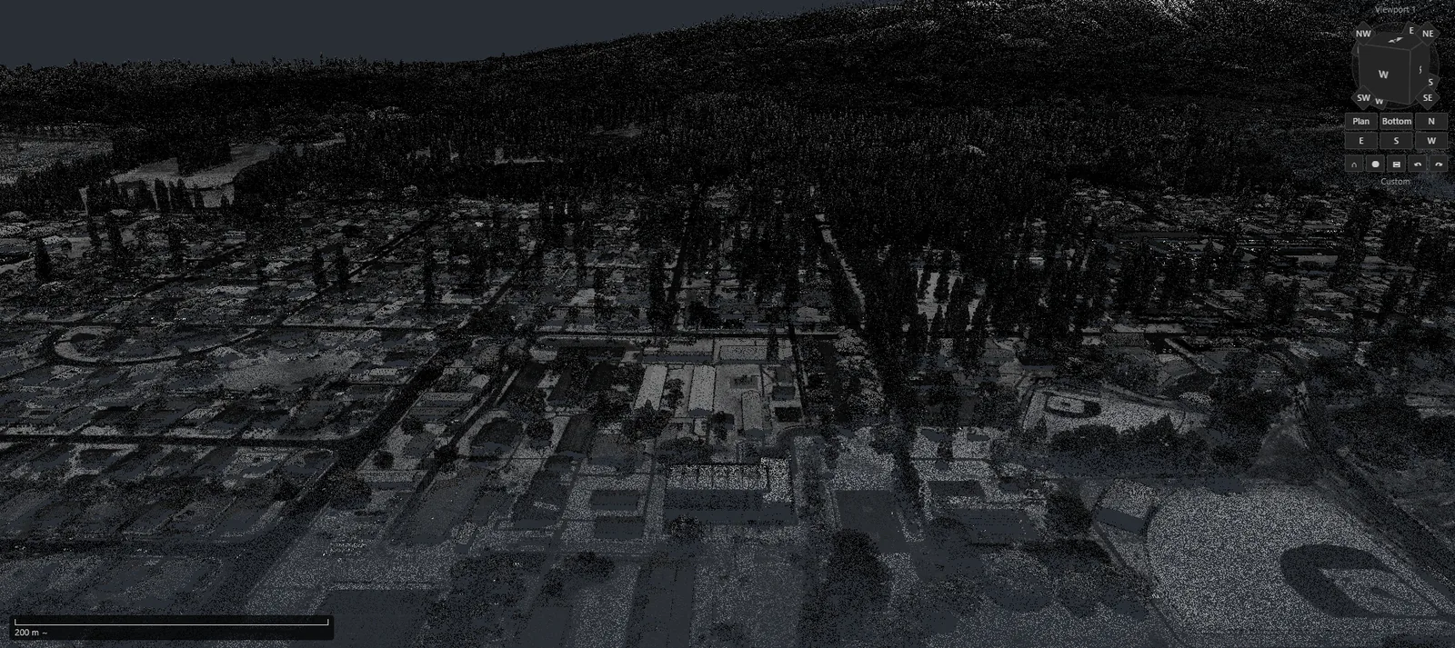
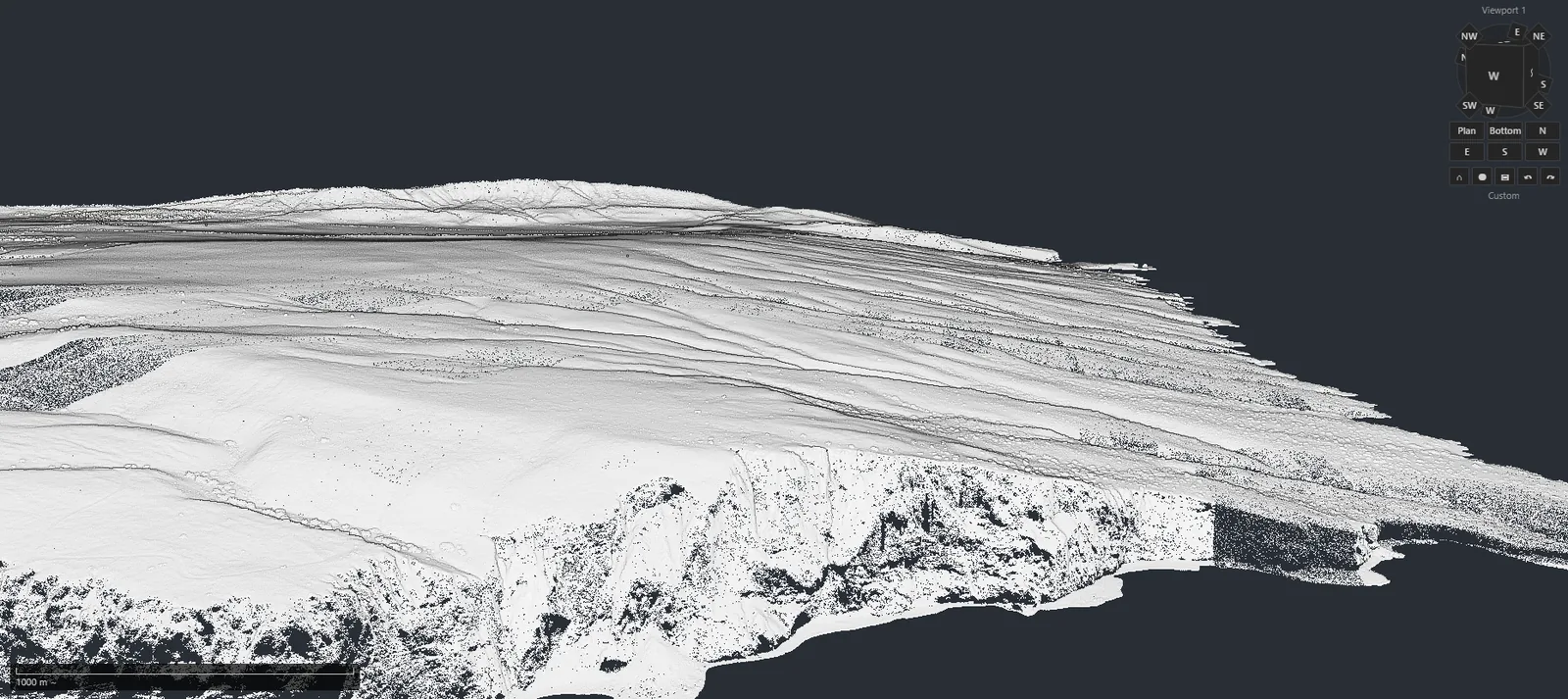
Forty-five seconds, from the whole island to 375 m.
A recorded camera path starts 52 km out with the whole island in view and ends looking down from 375 m. Surveyor replayed it five times; every frame was counted against the wall clock.
| Flight | Median fps | Average fps | 95 % of frames under | Points a frame | 95th pct | Peak | GPU a frame |
|---|---|---|---|---|---|---|---|
| First launch, flight 1 | 100 | 96 | 30.6 ms | 13.1 M | 28.6 M | 45.4 M | 2.7 ms |
| Second launch, flight 1 | 118 | 106 | 30.9 ms | 13.1 M | 28.3 M | 45.4 M | 2.7 ms |
| Second launch, flight 2 | 110 | 108 | 28.4 ms | 13.1 M | 28.3 M | 45.4 M | 2.8 ms |
| Second launch, flight 3 | 107 | 112 | 26.9 ms | 13.1 M | 28.3 M | 45.4 M | 2.8 ms |
| File without normals, flight 1 | 115 | 118 | 28.4 ms | 13.1 M | 27.0 M | 42.6 M | 2.7 ms |
Median and average frames per wall-clock second over each 45.5-second flight; frame and GPU times from Surveyor's per-frame telemetry. Surveyor's default point budget is 24 million points a frame; frames above it are the moments new detail arrives.
3+00Convert
From 1,569 tiles to one file.
The same converter Surveyor uses turned the 1,569 LAZ tiles into one .pgc2, without a single GPU error.
| Conversion | Points | Time | Rate |
|---|---|---|---|
| Without normals | 13,060,946,265 | 84 min | 2.58 M/s |
| With normals, planarity and linearity on the GPU | 13,060,946,265 | 4 h 31 min | 0.80 M/s |
Converted in July 2026 on the same machine; times from the converter's own timing log.
4+00Plan sets
A 305 MB plan set, opened from 9 MB.
Puck reads large PDFs in ranges instead of loading the whole file: a 124-page, 305 MB plan set opened after reading about 9 MB of it.
5+00Method
How we measured.
- Data
- USGS 3DEP project HI_NOAAMauiOahu_2020_B20, the 1,569 LAZ tiles covering Lāna'i (public domain), converted to .pgc2 in metres, EPSG:6634.
- Machine
- Dell PowerEdge R740xd: two Intel Xeon Gold 6132 processors (56 threads), 766 GiB of RAM, NVIDIA RTX A4000 with 16 GB, NVMe storage, Windows Server 2025.
- Display
- Surveyor maximised on a 1920 × 1080 display, over Remote Desktop, in its default layout: a 3D view of about 1568 × 669 pixels beside the sidebar and results panel.
- Build
- Surveyor as built on 15 October 2026, default settings, in a fresh profile.
- Camera path
- A 45.4-second path recorded in Surveyor, replayed with the same interpolation as Surveyor's own player, one camera update per animation frame, smoothing off.
- Counting
- Surveyor's per-frame engine telemetry, one record per frame; frame rate counted per wall-clock second. Measured on 17 October 2026.
Platform
The rest of the platform.
- PGC Core The engine One native engine under every app, measured on public data.
- Measured Speed 13 billion points of public lidar, timed in Surveyor.
- .pgc2 · .pgsvy · .pgci File formats Scans, projects and photos that keep the survey together.
- Background jobs Async Long jobs beside you, and projects that survive a crash.
- Command line Headless Conversion and GNSS processing without a window.